Streamflow Patterns 101
By Teresa Gryder
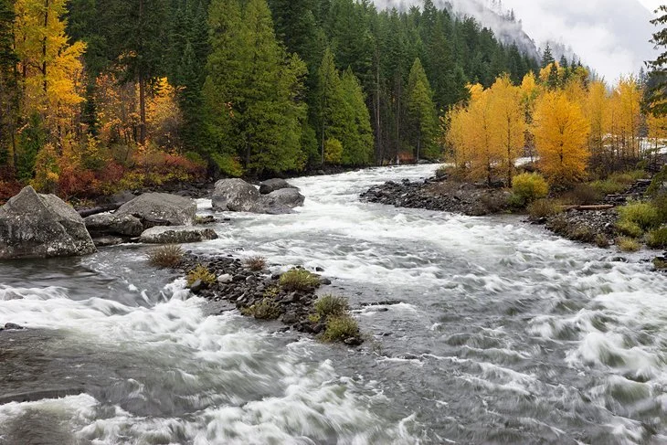
Wenatchee River
The season is about to change, and with it the water levels. For those of you who are new to boating, something mysterious will happen. For you who’ve been down the river in all seasons, it becomes a familiar ritual. Either way, it is important to be aware that the relative safety of any river on a given day depends on how much water is moving through the riverbed.
Generally speaking, high water is the most dangerous. A benign class II run can become class IV given too much water. Small diversion dams can become terminal keepers. Trees at the edge of the river can become lethal strainers when the water is high and moving through them. Large calm eddies and pools that we depend on for rescues and time outs disappear when the water is high. Active rainy-season paddlers watch the levels and weather like hawks watching rodents. They are trying to find flows that are both fluffy (waves developing) and reasonable (still have eddies).
Active rainy-season paddlers watch the levels and weather like hawks watching rodents.
Right now, in Oregon at least, rivers are running at their summer base flows. Some rivers are runnable at base flows; many are not. Eventually, the rains will come and with them rising water. Eventually, the snow will fall, making deposits in our whitewater bank account. The hunt is on for the river with the right amount of water on the right day. In this article, we’ll cover the basics of streamflow patterns. In the next one we’ll dig more into the technicalities of gauges.
The Basics of Streamflow Patterns
The rivers we run in the summer have reliable flows even when it does not rain. New whitewater paddlers get their start on these familiar runs. In North America, steady summer water is supplied by either mountain springs or releases from reservoirs. The Pacific Northwest has some fantastic glacier and springfed runs, including the White Salmon in Washington and the Metolius in Oregon. The southeastern US has a bounty of dam-controlled runs like the Ocoee and Nantahala. During long droughts, these types of runs are all that remain, and eventually even aquifers and reservoirs can be depleted.
Predictable rivers can give rise to a placid attitude. A new paddler might not know how different their river will be when the flow is different. Perusing Charlie Walbridge’s annual summary of near misses and fatal accidents reveals that the majority of fatalities happen at higher flows.
When the rains come, it is easy to let someone else decide if the flow is good. The question lies in who to trust. Do you know them? Do they know you and your boating skills? Do they like the same kinds of whitewater that you like? You could end up in a tricky situation by relying on the judgement and decision of a stranger. You must trust your own “spidey senses” about the river, and for your intuition to be trustworthy, you must develop it. Too many paddlers learn about floods the hard way.
Earlier this season my friends Mark and Shelaine launched on Crab Orchard Creek in Tennessee with a group of paddlers that they decided to trust. The rains had been intense, and there is no gauge on the run, so paddlers simply go that way when subjectively enough rain has fallen. Mark and Shelaine launched and quickly discovered that the pleasant class II at the put-in was not representative of the run. Several swims later they had the good judgement to hike out. Had they taken the time at the put-in to see if the water was rising or falling, they’d have known that they were launching before the water had even peaked. When the water is rising from rainfall, it’s impossible to know for sure how much higher it will get. When the rain has stopped and the water is falling, you are usually in a more predictable situation. While the group that they were with thought the flows suitable, they were not suitable for my friends on their first run down.
The ideal flow for any given run is debatable.
The ideal flow for any given run is debatable. Some folks prefer smaller, less splashy flows. Others are big water hounds who really like rivers to be full and pushy.
Flow patterns reflect the water source. Springs from large mountain aquifers are relatively stable. Dam release flows are reliable when you know the release schedule and terribly dangerous when you don’t. Rainfall and snowmelt are two major sources of streamflows with their own distinct patterns. The interactions of weather, land and river are complex, and understanding how one river works does not mean you understand others.
Rainfed Rivers
Rainfed rivers obviously run after a rain. How much rain, where it falls, and what it lands on affect runoff. The size, steepness, vegetation and soil types of the watershed impact the volume and speed of runoff. Rains that fall on asphalt or rock quickly run off causing sudden increases in streamflow. Rivers based on this kind of flow are said to be “flashy.” Long gentle rains can saturate the earth and make areas “flashy” that normally are not; the soil can hold no more water. Extremely dry soils can also reject a hard rain, causing fast runoff.
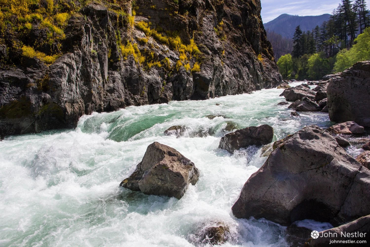
Illinois River, image courtesy: John Nestler
An interesting case study is the Illinois River in Oregon. The Illinois is notorious for sudden flooding. There are multiple reasons for this flow pattern. First of all, even at normal boating flows, the Illy’s volume triples between the put-in and the take-out, due to numerous substantial tributaries. The gauge is above the put-in, so if you launch at a flow of 2,000 CFS (cubic feet per second), you are guaranteed to have 6,000 CFS at the take out without any additional rain. Second, the headwaters are in the Kalamiopsis wilderness where the bedrock contains minerals that inhibit plant growth and topsoil formation. There is little spongy soil to slow down runoff and rains get dumped into the river without the slowing effect of soil. Paddlers who launch on the Illy in the modern age have the advantage of excellent weather predictions which allow them to avoid launching if there is a chance of precipitation in the watershed.
Normally topsoil absorbs rain, reducing and delaying runoff. Green deciduous forests absorb much of the rain that falls. In winter when the leaves are down, more runoff quickly reaches the river. When it is cold and raining in the valley, the river might not rise because higher up on the mountain the precipitation is freezing. In this case the river won’t run until the snowpack melts.
Snowmelt
Snowmelt is in some ways easier to predict than rain flows, but it is strange to people who haven’t lived around big mountains. Who ever heard of the river flooding during a heat wave? (Answer: People who live in the Rockies.) When hot sun and warm winds hit high mountain snowpacks, a flood can come down on a hot sunny day. The angle of the sun hitting the mountain changes throughout the year, so some snowfields remain shaded until the equinox or later. When flows are coming from snow melt, there is a “bump” of increased flow that moves down the streams after the hottest part of each day. When cooler temperatures or cloud cover arrive, the snowmelt can shut off like a faucet.
Extreme high water events provide boating opportunities, but because they are dangerous we are generally warned to stay away. One hundred year floods can occur after lengthy rains driven inland by gargantuan storms over the ocean, or when a gentle warm rain falls on high snows. Localized thunder storms can cause flash floods that rush downhill into places where there was no rain. Extreme and unpredictable flow events are rarely boated. Often the only people launching at flood stage are the people who have no idea that it is flooding or how dangerous it is. Veteran boaters who want to paddle on extreme flows already know historical flow patterns, and current trends for the run in question, and carefully examine weather radar to assure they know what they will encounter.
Our goal is to choose destinations and flows wisely, and to admit when we were wrong. Ideally, we learn how to predict conditions based on internet gauge readings and weather reports, so that we only go to the river when the flow is right. It is difficult to admit defeat, but you must be willing to walk away even after you’ve driven to the river and suited up. Many times I have decided the flows were more than I wanted, and offered to run shuttle for others. And I’ve been glad I did.
The complexity can be baffling but becomes clear with careful study. Many runs have a combination of water sources. In late spring, the Sandy River runs with muddy snowmelt from the shrinking Sandy Glacier. In winter, the Sandy needs rain to reach adequate flows. Neighboring runs can have entirely different sources. The West Fork Hood is rain-dependent with low elevation headwaters, whereas the East Fork Hood taps the highest snowpacks on the north side of Mount Hood. Understanding the interactions of seasons and weather is the foundation for understanding and predicting natural river flows. When you graduate from the standard steady summer runs, you are beginning an in-depth study of your region’s weather and topography.

