Trip Report: Low-Water South Fork Salmon
Trip report by Deborah Kane
There’s an admonishment in the American Whitewater write up of the South Fork Salmon that has kept me off this stretch of river for years. It reads:
"This is a challenging, remote wilderness run. It is strongly advised to not attempt this unless you know exactly what you're doing."
Rarely can I profess to know exactly what I’m doing when it comes to kayaking!
But last year my husband and I, along with three other families, purchased a 50-acre property east of McCall called Zena Creek Ranch. The property is bordered by the Secesh River, which flows into the South Fork Salmon.
The traditional put in for the South Fork Salmon is four miles from the ranch, so it was only a matter of time before I got on this wilderness, self-support run. In August, the right crew combined with the right flow (1.7 ft) compelled me to give the South Fork Salmon a try.
Pre-Launch
This was not an LCCC trip, but in the crew of six, we had three LCCC members: myself, Tom Frisch and Jennie Goldberg. Five of the six of us had never run the South Fork Salmon before. Jennie Goldberg, who had run it at least 20 times over as many years, made it clear to us all the night before launch that she rarely remembers much about the run, and that even if she did, it had been two decades since she’d run it this low. Fair enough.
Jennie Goldberg, LCCC member and founder of the League of Northwest Whitewater Racers, with fellow slalom boater Bob Duffner.
Jennie had two primary recommendations for how to successfully navigate the river.
Catch an eddy and make a plan. Catch the next eddy and make the next plan. When you can’t see your next move, get out and scout. This straightforward approach served us well.
Travel as a group and stay within sight of one another. Consider yourself responsible for the person behind you.
Jennie’s indication that she shouldn’t be counted on as our personal paddling guidebook was a great reminder that we all bear individual responsibility for making our own decisions about rapids, rivers and risk assessments. After a shared meal, several people took advantage of the wi-fi at Zena and downloaded gps points for the major rapids into their Gaia apps.
Day One
We put in at the confluence of the Secesh River and the South Fork Salmon. There’s a short trail which makes it easy to get boats and gear down to the river.
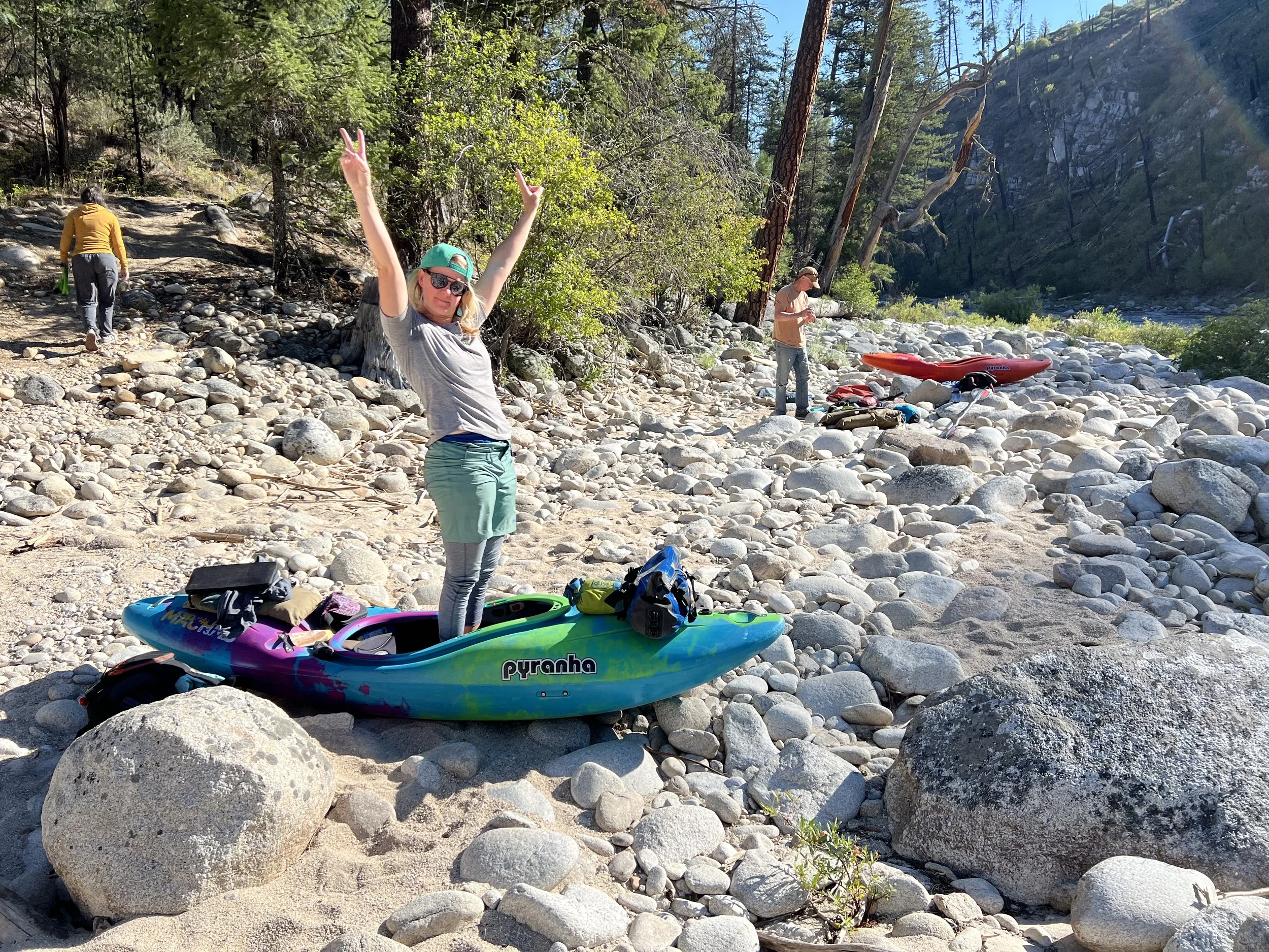
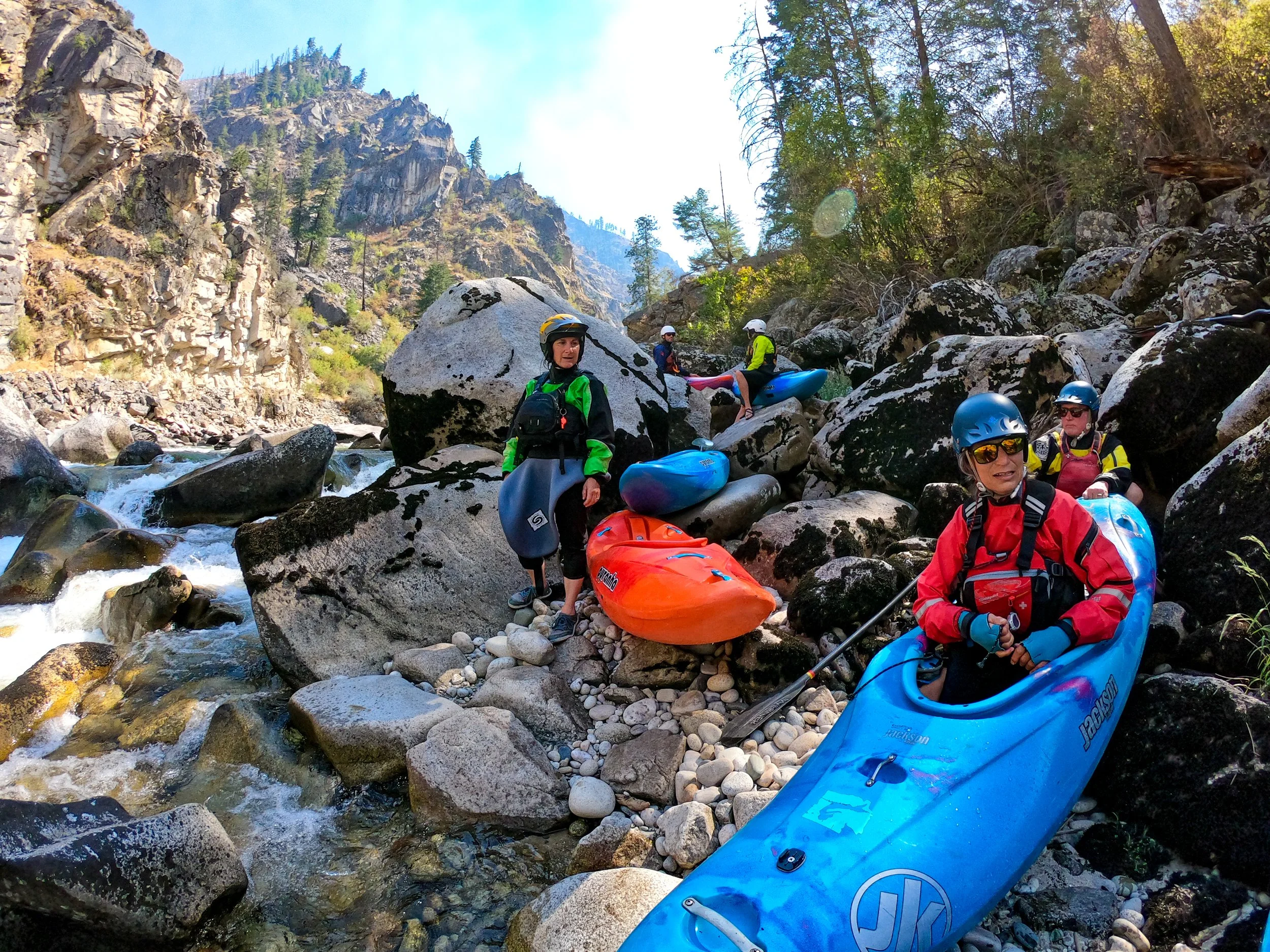
Shannon feeling confident it will all fit in her boat. Five of the six of us were in Machnos.
Alternate put ins include Ponderosa Campground on the Secesh (when there is enough water in the Secesh) and Indian Point Campground on the South Fork Salmon. And if you know the right people, you could put in at Zena Creek Ranch!
We were planning on being shuttled out by airplane, so once we had the boats more or less loaded, we shuttled two cars to Reed Ranch, an airstrip about 12 miles upstream on the South Fork Salmon. That we dropped our cars off above the put in felt ever so slightly not quite right, but we went with it.
Everyone made last minute adjustments to their boats, and we were on the river just before noon. Immediately it was clear we were in for a treat. We paddled for about an hour then stopped for lunch.
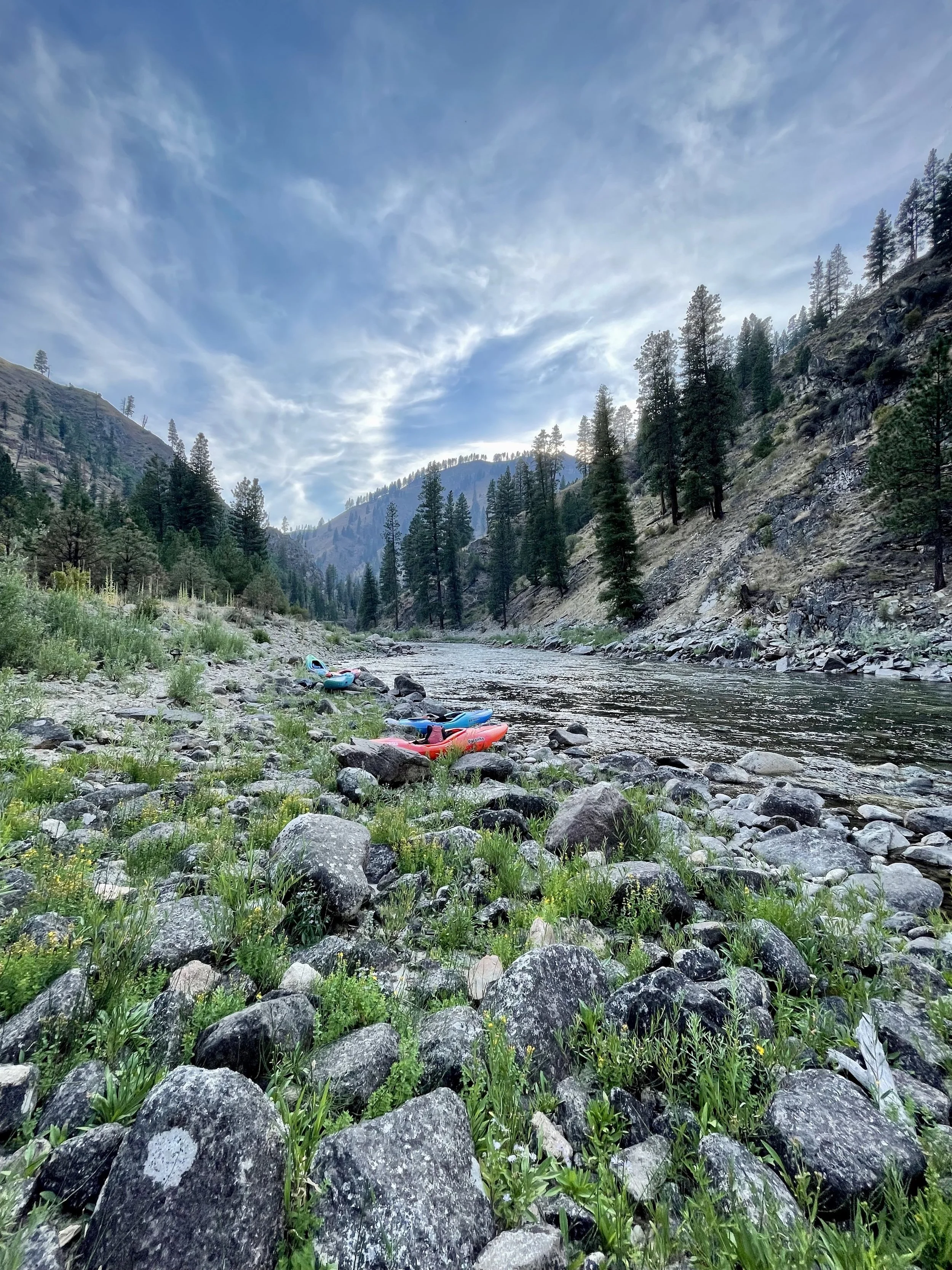
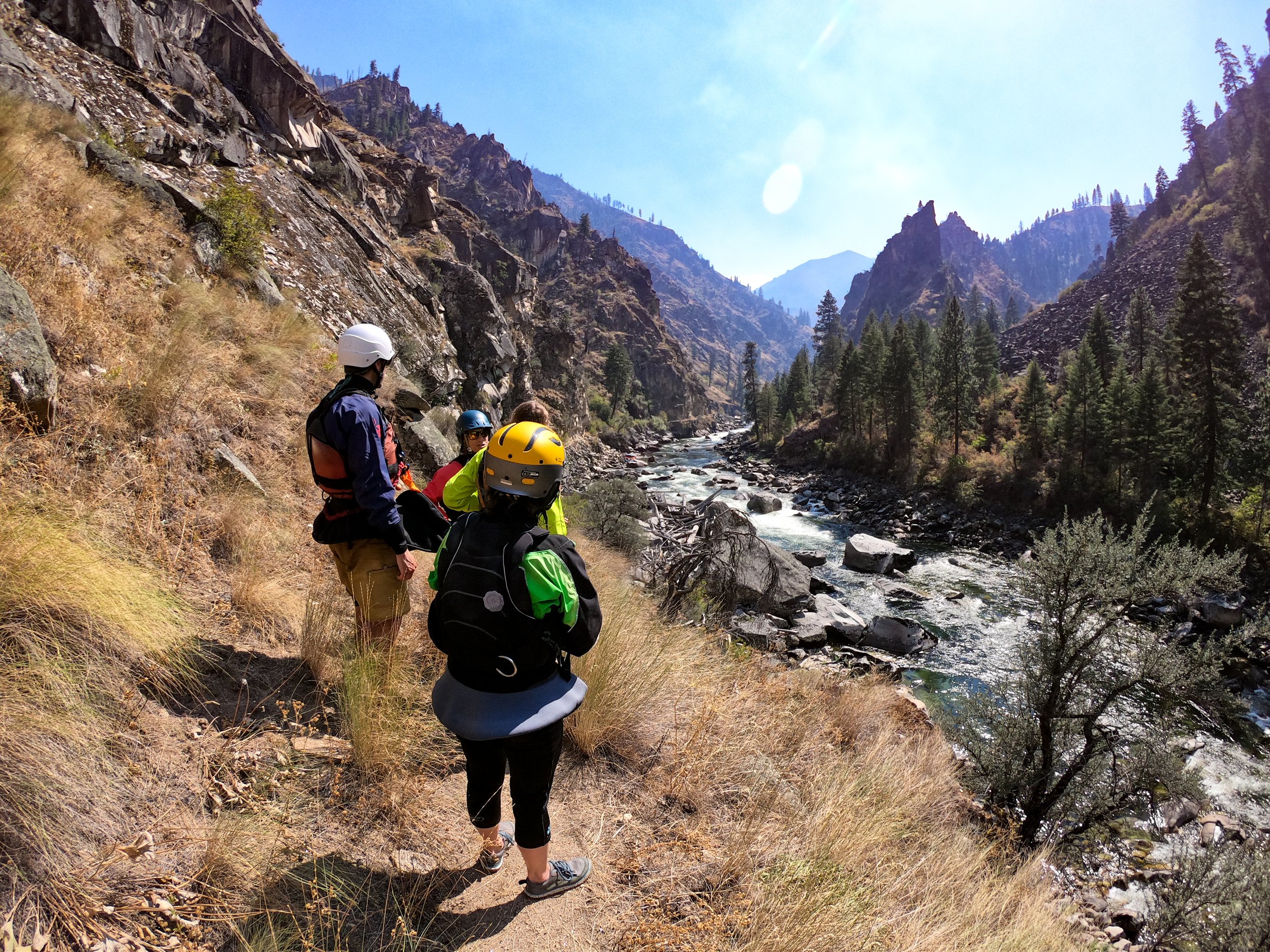
The river runs through a beautiful granite canyon and is very picturesque.
We paddled through several rapids (Sheep Creek, Slide Creek, and Island Rapid) that at higher flows probably would have gotten our attention. And then about five miles from the put in we encountered our first big rapid, Devil Creek (Class V).
Here I should note that I don’t typically run Class V rapids! The beauty of doing a low-water run is that the rapids are generally downgraded, the holes are smaller or non-existent, and the water is much less pushy. Pinning is more of a hazard than getting worked in a hole.
We scouted Devil Creek on the left, then ran the first half down the left, followed by an S turn through large boulders to finish the rapid with more boulder dodging on the right. I was third to come through on the right side and absolutely sure I had messed up the line.
I had to really turn on the gas to avoid being swept into some unfriendly rocks. But once at the bottom Shannon and Tom assured me their line looked the same, and I got to watch Jennie, Bob and Cyn all get that look in their eyes of, “Oh no, am I going to hit those rocks!?”
We all had the cleanest lines we could, it turns out. I’m told at higher flow we never would have considered a river right finish, but it was the line that presented itself at this level.
Hinkley Beach Camp at mile 10.2, river right.
We camped on river right at what we thought was, unimaginatively, 10.2 Mile Camp. LCCC member Teresa Gryder has kept detailed South Fork Salmon notes over the years. Her journal suggests others might call this camp Hinkley Beach Camp. Either way, it had lots of white sand up on a shelf above the river and was a delightful first stop.
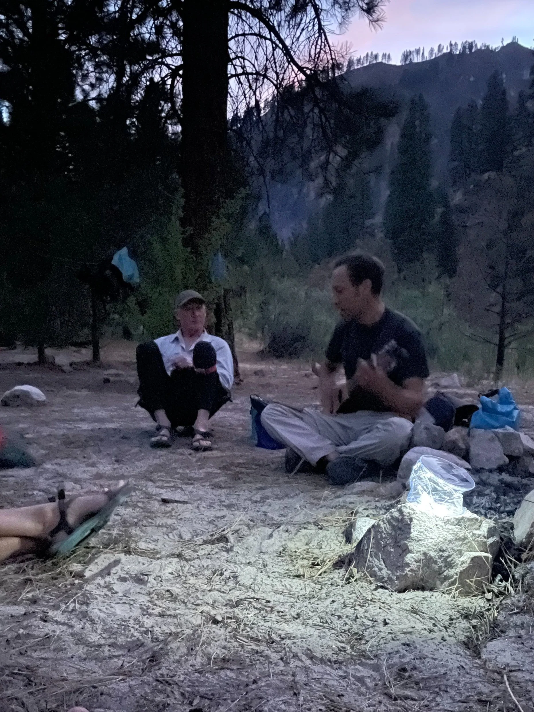
Here we discovered that Tom Frisch can pack a lot into a medium Machno, including a guitar! We enjoyed the first of three nights filled with music.
Tom brought a Martin backpacking guitar which added an extra element to our evenings.
Day Two
Two weeks earlier a lightning strike started a fire in the watershed that was burning right up to the river’s edge. Known as the Porphyry fire, we could see and smell smoke the night before and were beginning to wonder what paddling through an active fire zone would feel like.
Smoke from the Porphyry fire is visible in the distance from “10.2 Mile Camp.”
But the day was full of Class IV and V rapids that kept me temporarily distracted from thoughts of the fire. The first rapid, within eyeshot of camp, was aptly named Wake Up rapid. From there we had Rick’s Rodeo, and Surprise (!) rapid, along with a series of Class III-IV rapids in quick succession.
My good friend Shannon Finch, a super strong paddler and whitewater kayaking instructor, took the lead position for most of the day. She set a slow and deliberate pace, safely leading us into and out of eddies and drops and blind corners as we navigated one boulder choked rapid after the next.
Mindful of Jennie’s earlier thoughts on taking responsibility for the paddler behind you, I had strategically positioned myself behind Shannon. “You good DK?,” Shannon would thoughtfully ask before dropping into the next feature. Everybody needs a paddling buddy like Shannon in their life.
Who wouldn’t follow this woman downstream?
Apart from the boulder gardens which provided challenge enough, we stopped to scout Elk Creek Rapid (Class V) and ultimately decided to portage it on the right. Our plan was to bump our way down as long as we could before actually carrying our heavy boats. Luckily we discovered a chute on river right that reminded me a bit of the middle option at Rainey Falls on the Rogue.
The Class III-IV action continued immediately after Elk Creek Rapid for another few miles, until eventually at mile 22.2 we found ourselves at Hettinger Ranch Camp on river left.
Privately owned Hettinger Ranch is in the distance behind the tree line, as are a dozen or so fire fighters.
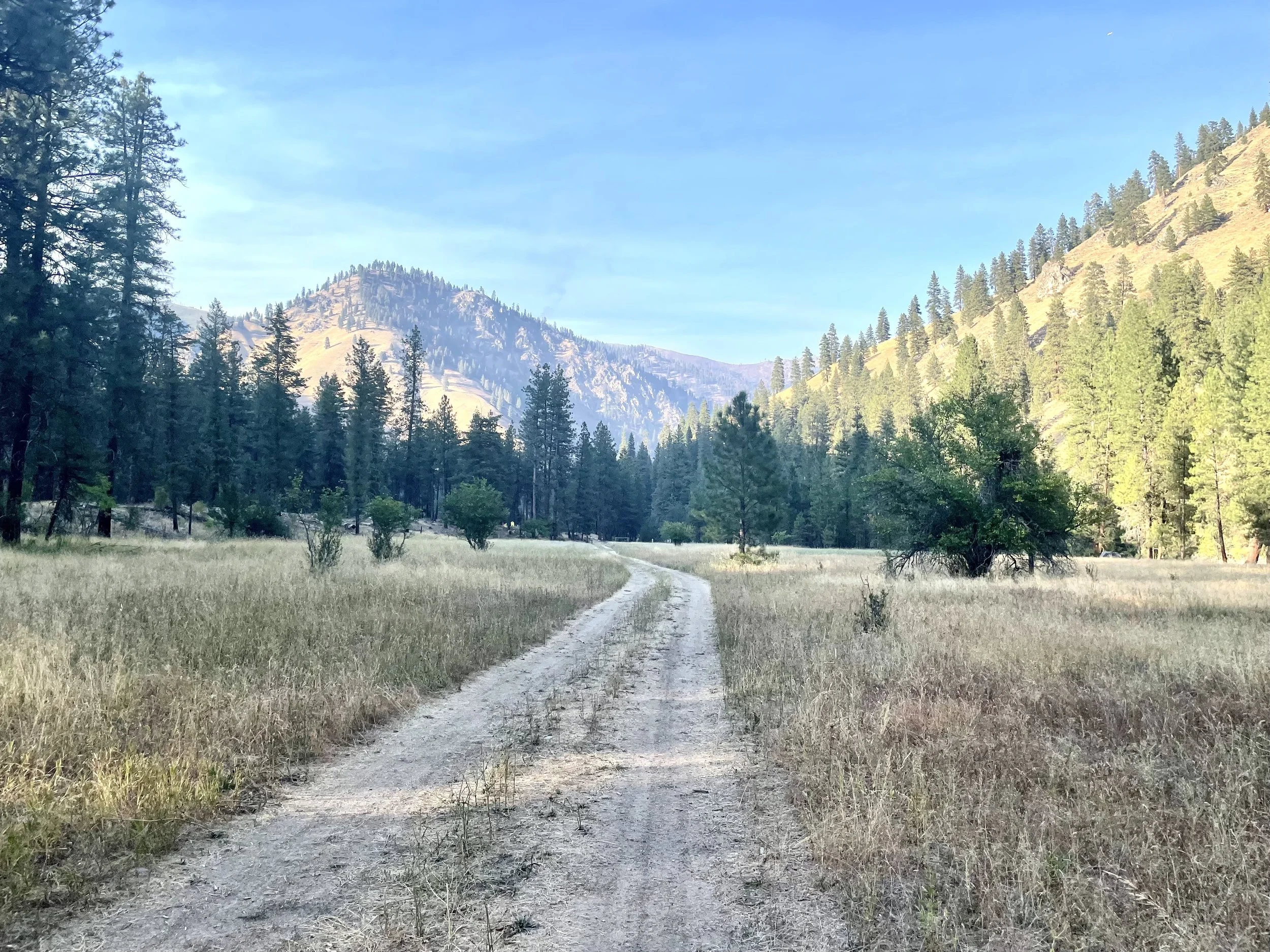
Hettinger Ranch Camp consists of some Forest Service land just upstream of the privately-held Hettinger Ranch. It had shade, a small wooden table upon which to cook meals, a meadow, and a well worn path to a river-wide, deep, clear swimming hole. Fire fighters battling the Porphyre fire had set up a staging area at Hettinger Ranch and they joined us at the swimming hole.
The path to the swimming hole. Jennie Goldberg had encouraged us all to bring swim goggles for the swimming hole. She donned a swim cap as well!
We’d be paddling through the fire the next day, and were glad to learn from the fire fighters that it was well contained. We also encountered a ranch hand training in a new Border Collie puppy and of course couldn’t resist the puppy’s charms; nearly everyone got some puppy love.
Day Three
I wasn’t one of the three who downloaded coordinates for the big rapids onto my phone, so as was the case for the two prior days, I wasn’t entirely sure what I was in for on day three. But when Jennie told us all, “Nobody ask me if we’re close to Fall Creek Rapid until well after lunch,” I knew we had at least another big one on the docket. Or was it two? She also said we probably didn’t need to worry about Greyhound at this flow. Greyhound, I thought?
I never saw a Greyhound bus-sized hole, which just reinforced my extreme pleasure at experiencing this run at low water. But that doesn’t mean day three didn’t dish up a bunch of rapids that required our attention. We ran rapids named Smith Creek, Hettinger, 25 Mile, Rattlesnake, Splitter, Greyhound, Go Right, Right Wall, Nobu’s Hole, Leftie Loosey, and Righty Tighty.
Day three read and run fun.
The fire, I’m happy to report, was almost unnoticeable but for a few burning embers here and there. Otherwise the landscape looked as it had all along, a relatively sparse mix of magestic ponderosa pines, fir and hemlock trees with minimal underbrush to fuel the fire.
As for Fall Creek rapid, we experienced three distinct sections, or drops, that I’ll call Fall Creek drop #s 1-3. The first drop was straightforward and we all scouted it and ran it on the left.
Abandoned boats above drop #2.
Shortly after the first drop we opted to scout drop #2 on river right so that we could assess both drop #2 and drop #3 at the same time. Drop #2 can be portaged on either side of the river, while drop #3 is only portaged on the right.
Looking back on drop #2.
At low water our only option for drop #2 was to run the drop in the center. It looked pretty sticky to us, and given its proximity to drop #3, which nobody wanted to run, we decided to portage both. For drop #2 we ferried to river left because it was more shaded than river right, and because we knew we’d have plenty of time to work back over to river right for the next portage above drop #3.
Shannon en route to river left above drop #2.
Shade or no, the portage around drop #2 with six loaded boats was a little bit of a suffer fest. And at the bottom of it, at river level, many of us wondered whether the portage had been necessary. That drop might not have been so sticky. I’ll have to find out next year.
Getting back onto the water at the bottom of drop #2.
Drop #3 however was unquestionably a necessary portage. The entry was full of boulders and not much water. What water there was ultimately coursed toward a cliffed out wall on river left. Very little maneuvering to avoid the wall would have been possible given all the rocks in play. Luckily, much like Elk Creek Rapid the day before, we found a sneak line on river right that all but eliminated the need to carry our loaded boats at all.
From Fall Creek rapid we made camp just a mile or two downstream on river left at mile 33, at what I’ve since learned is called Best Damn Camp.
Upon arriving at camp I collapsed on top of my kayak in a show of extreme adrenaline release and exhaustion knowing I had essentially just completed a run I’d feared for years.
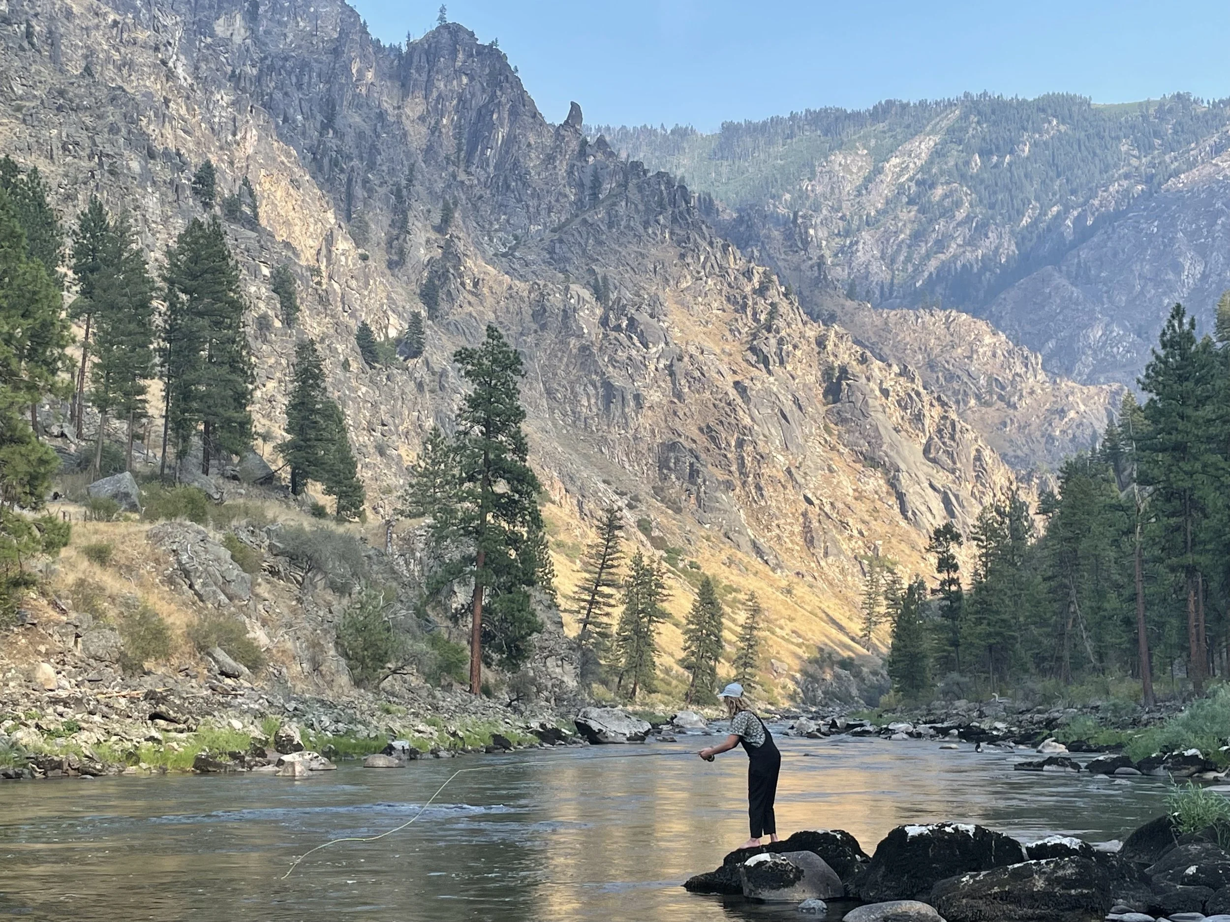
Best damn camp indeed. Spirits were high in camp that night, as they’d been all along. Shannon got out her fly rod and landed several fish. I took a downstream hike along the riverside path and discovered a gate to another private inholding, behind which roamed a dozen or so horses. We were just upstream of Badley Ranch.
Shannon enjoyed lots of success fishing at Best Damn Camp.
Hammocks were strung. Naps ensued. Oh, and we watched a bear, at least the fourth we’d seen in three days, saunter away above our camp.
Cyn’s idyllic tent site. Best Damn Camp offered sand and a pine needle strewn ledge that would have accommodated lots of tents.
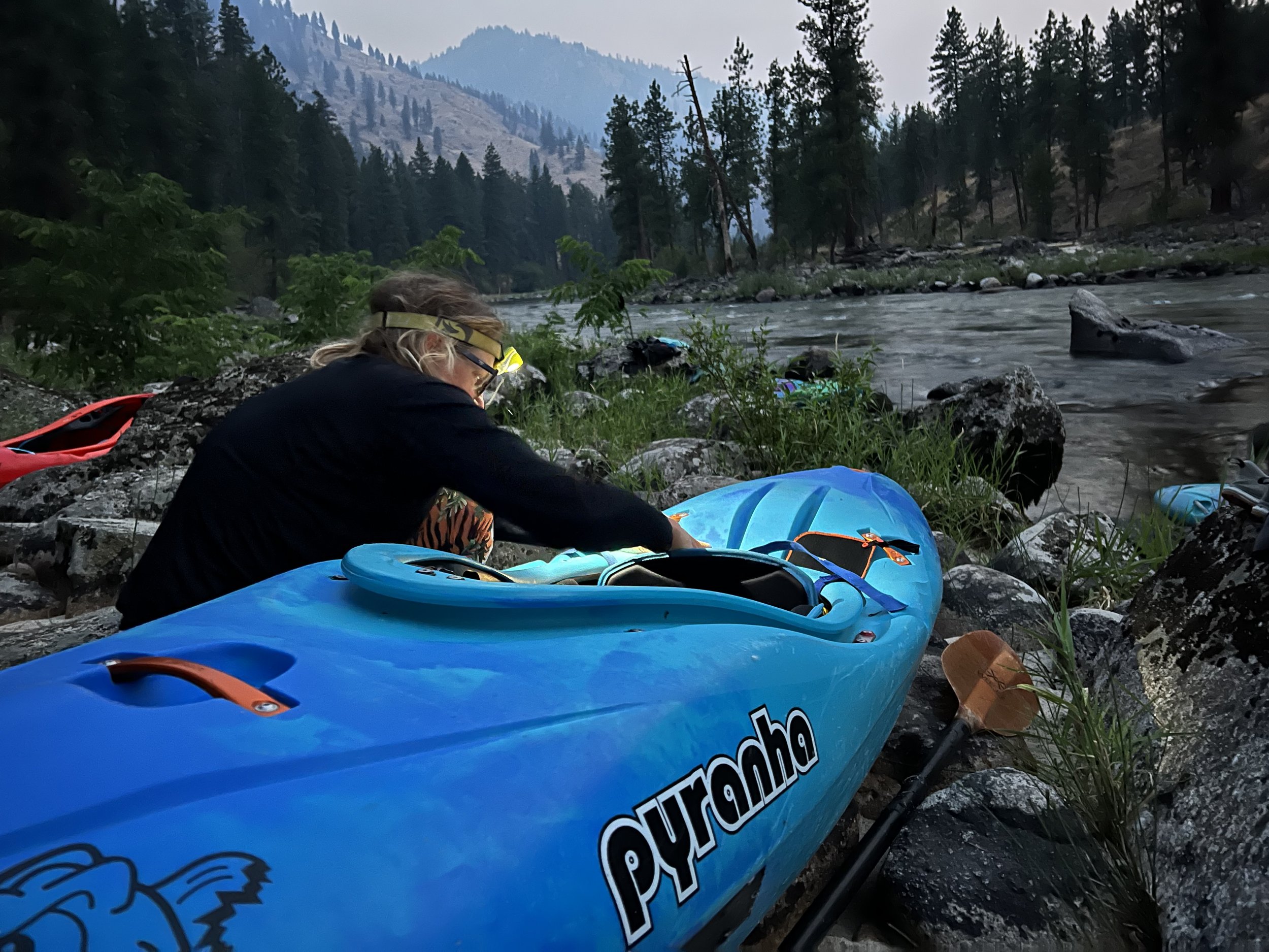
We all lingered over the last few songs Tom played on the guitar, and reluctantly set our alarms for 5:30 am. In the morning we’d be flying out in pairs of two, with the first flight scheduled for 8 am. We had at least a 20 minute paddle to the “airport.” In the morning, we’d be loading our boats in the dark to make it in time.
Day Four
Cyn loading her boat in the morning. She may have slept the latest, but she deployed some time saving tricks like substituting a few chocolate covered espresso beans for brewed coffee.
Ordinarily the last day of any trip on the South Fork Salmon involves turning left at the confluence of the South Fork Salmon and the Main Salmon, and paddling another 20’ish miles downstream on the Main Salmon to take out at Vinegar Creek. From there, the long car shuttle out of the drainage begins. You need a permit to camp on the Main Salmon, thus the necessity of paddling the entire stretch in the same day.
The first flight out at 8 am, departing right on time.
We were lucky to have a friend who knew a guy who knew a guy who had an airstrip where our airplane shuttle could land. That’s the trick to flying out of the South Fork Salmon. I think at higher water the paddle out on the Main wouldn’t be so bad, but at our flow it would have really been a slog.
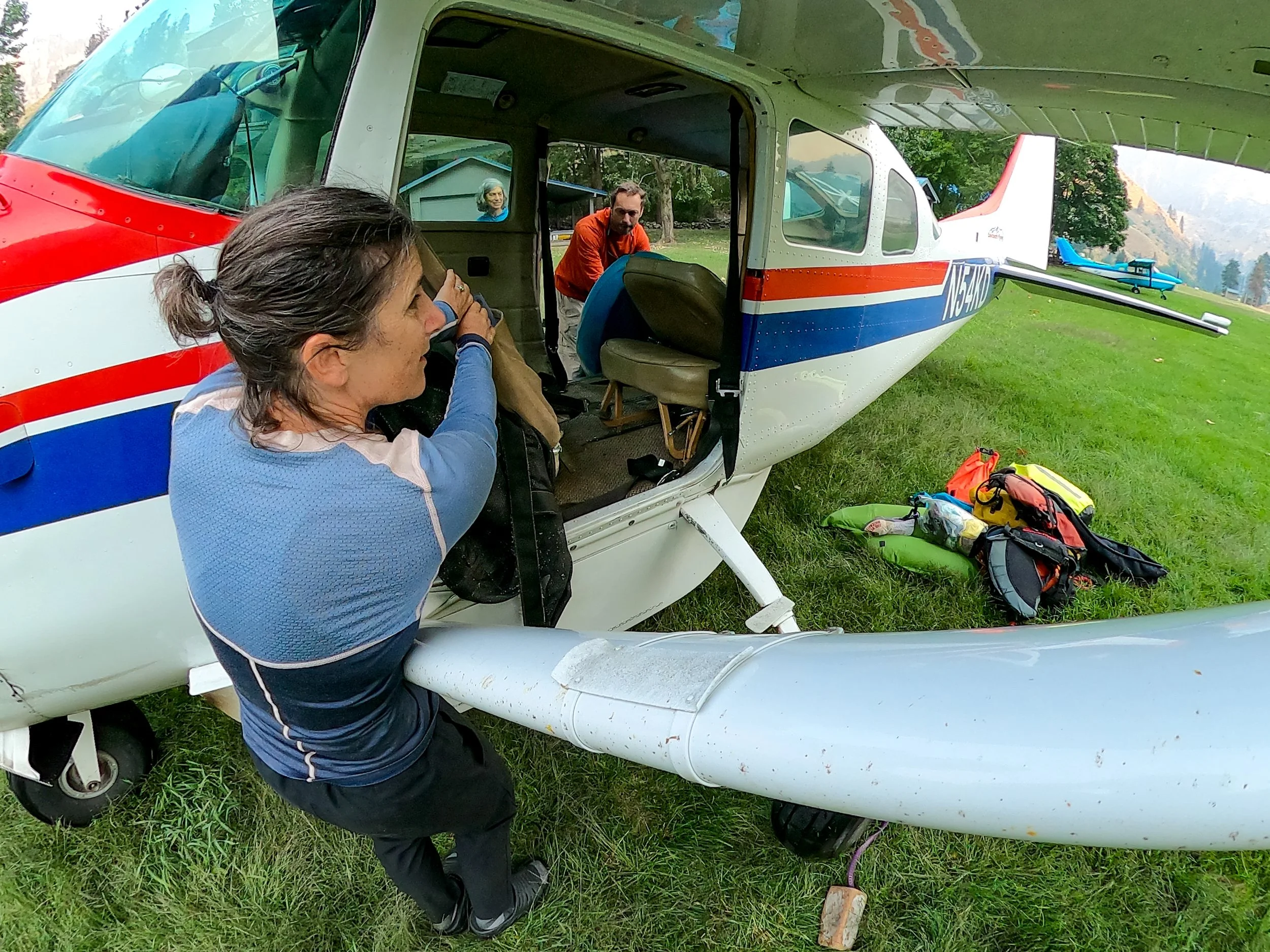
I’d never done an airplane shuttle before so was pretty excited by our luck in knowing a guy. The plane was a Cessna 206. Ordinarily there’s a seat for the pilot and then two rows of two seats for a total of four passengers.
The first thing the pilot did upon arrival was remove the two seats on the right side of the plane. That’s where our boats would go. Then began a game of Tetris.
Fitting the boats inside the plane involved lots of trial and error, some muscle, just the right angle, and a bit of luck.
Gear was stored underneath the plane. We rode on the left side of the plane, next to our boats. With seat belts fastened, the plane careened down the grass and dirt runway, miraculously lifted off, and then banked around to head back upstream.
It was incredible to see the whole watershed from the sky, and essentially trace our trip backwards up river.
Final Thoughts
I think the American Whitewater statement of caution regarding this run is spot on. I was extremely pleased to see this, my new backyard run, at low water. But I know the low-water experience is not the norm for most who tackle this run at “normal” flows or high water. Our pilot had run it at 9 feet!
Next year I’ll likely try it in the 2.0 - 2.3 ft range, but I’m also really looking forward to exploring all the day runs in the area. Look for trip reports on Vibika Creek, the East Fork of the South Fork, the Goat Creek run on the South Fork Salmon, Johnson Creek, and the Secesh in the future! And if you are ever in the area, do stop by at Zena Creek Ranch.


